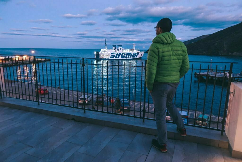
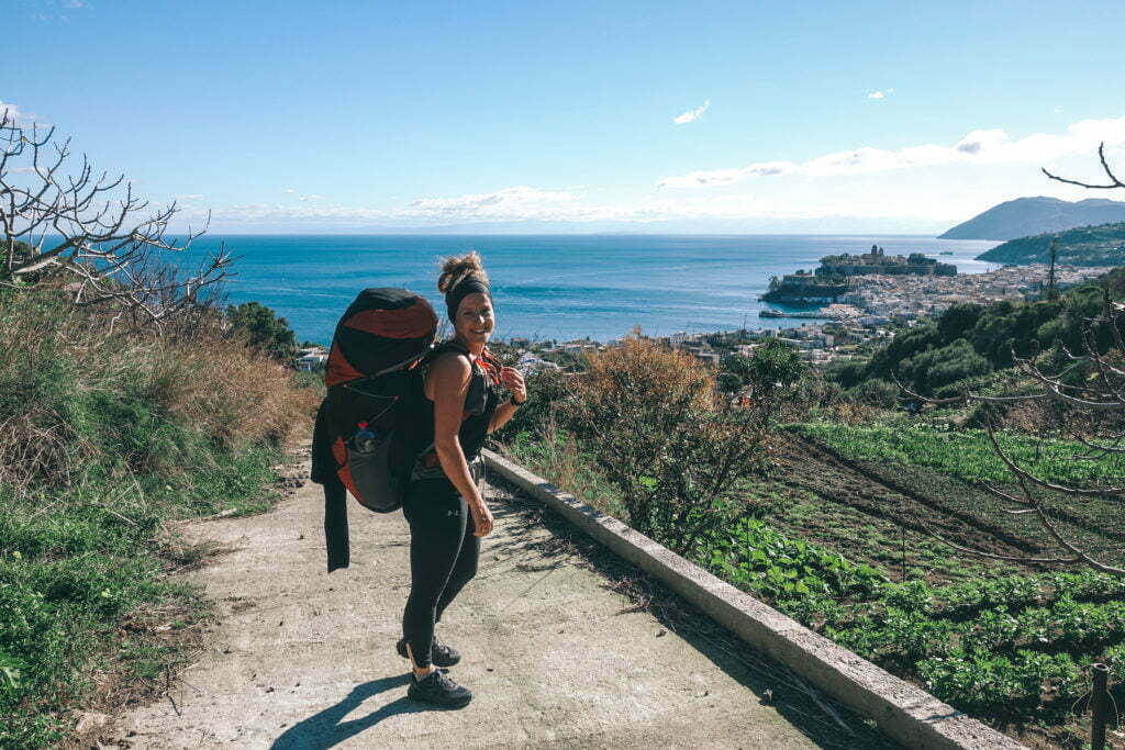
The Sicilian weather is not always on its best side. Therefore, with a heavy heart, we decide to temporarily leave van life behind us. Between Christmas and New Year's Eve, we set sail without a camper. If the ferry would even leave because of the swell! We leave our camper in trustworthy hands near the harbour and say goodbye a little (hopefully we will see each other again!). The ferry is particularly cheap during the Christmas season and so we swing into the Tyrrhenian Sea.
Camper-free zone
The Isole Eolie, or the group of islands of volcanic origin also known as the Lipari Islands, consist of a total of seven inhabited islands in the said sea. The volcanic chain stretches from Vesuvius to Etna and has its origin in the tectonic movement of the African plate under the Apulian plate and is well worth a visit! The sea does everything to sink us, but we arrive in one piece at the port of the first Isola Eolia: Vulcano!
Sulphur in all its forms
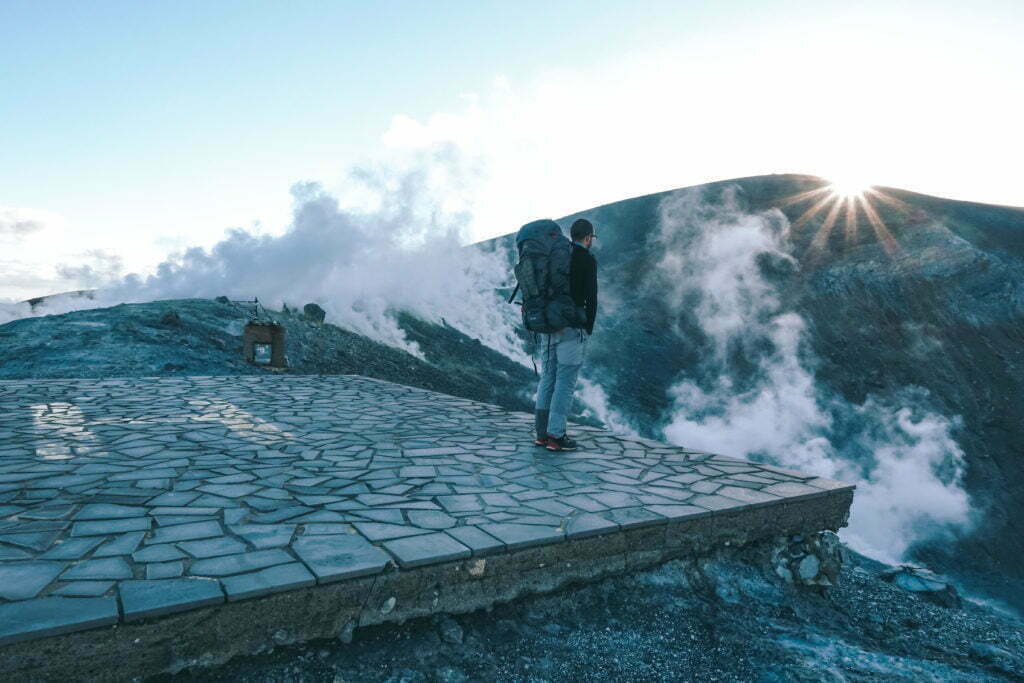
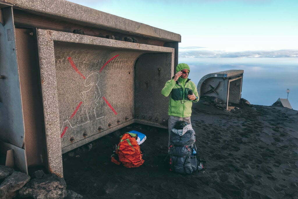
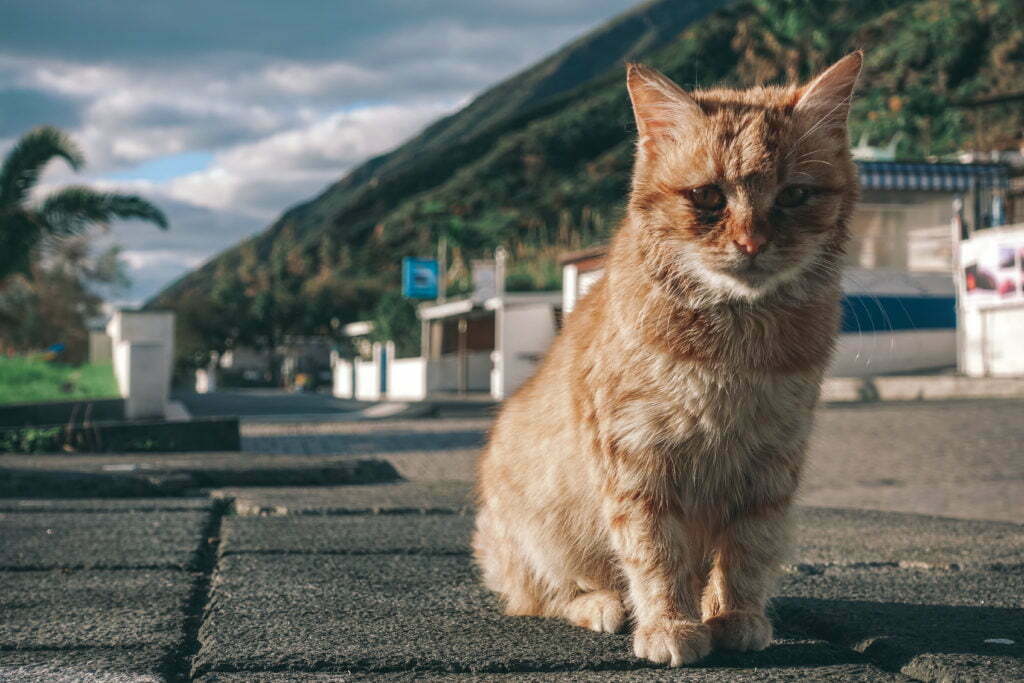
When we arrive on Vulcano, it is already dawn and when we take our first step off the boat, we are greeted by a pungent smell in our noses. While taking a hot bath in the public spring of Lamezia Terme, we have already dealt with the smell of boiled/rotten eggs - hydrogen sulphide, that is. Vulcano has a different scent. A pungent sour smell: sulphur dioxide, a nasty volcanic evaporation. The island is deserted, only the hotel directly at the harbour offers no real food, but at least accommodation. We miss the camper a little. As the wind dies down in the evening, we creep around the island and are like little children curious about the Acque Calde aka Fangopango Van Dango Blubb. A bubbling mud bath with wellness potential. But what we find is sobering. It bubbles a little, but with the sub-freezing temperatures, there is no question of lying in it. So we watch the local cats before scaring off a pizza maker with an order.
Black sand under your feet
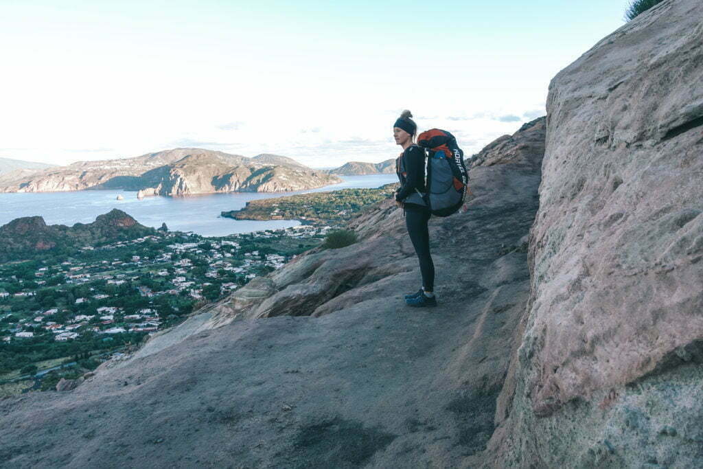
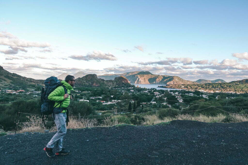
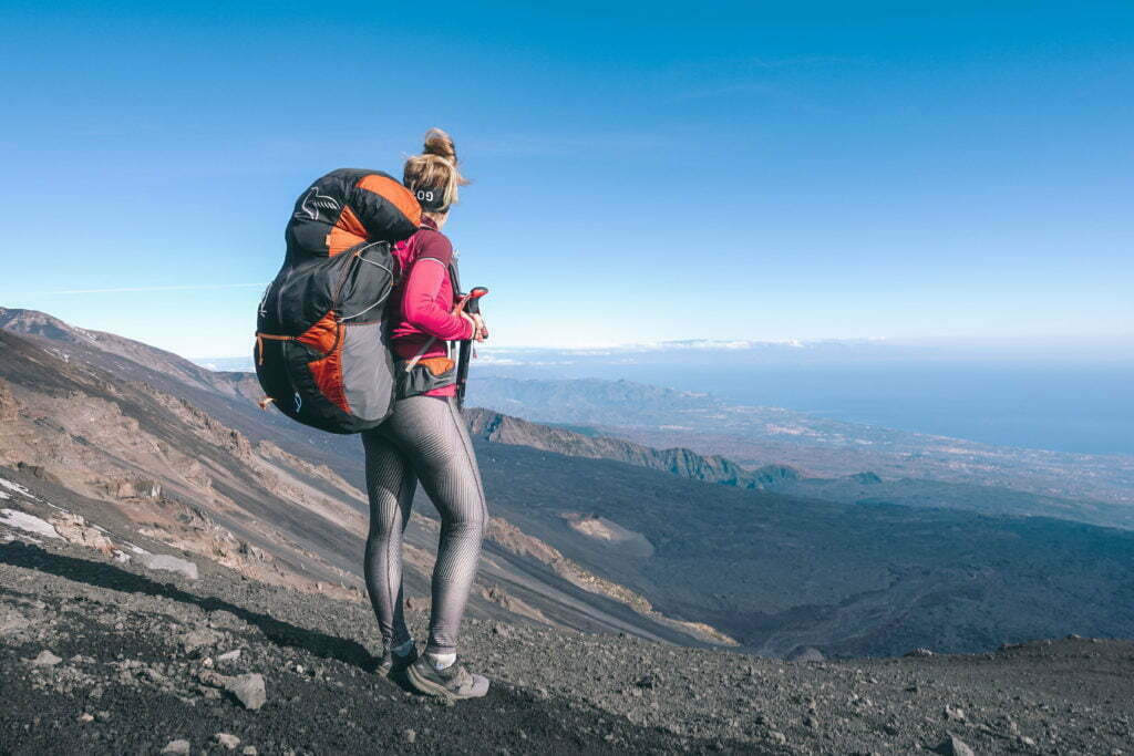
The next morning, after a typical Italian breakfast, we set off at dusk. After about 1.3 km we reach the hiking trail to the "Cratere", where we find a warning sign - Attention fumaroles (steam emission)! We want to take the (small) risk and master the first serpentines in the leafy undergrowth, which quickly changes to a landscape of black sand. The flora is rather sparse and the path is partly criss-crossed with gullies washed out by the rain. Halfway up the slope, the subsoil changes from the finest black sand to red clay. After another 100 metres of altitude, you reach the Gran Cratere, where it flattens out and you find another change of landscape - black scree desert.
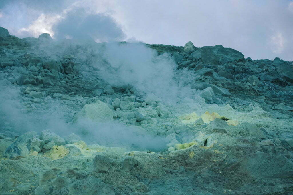
Who has respirators in the camper?
Here you can set off to the right to circle the crater, also avoiding the fumaroles. However, we choose the shorter option, although the wall of smoke is not unimpressive. You should not take the direct route without a respiratory mask, as the fumaroles tend to give the impression of solfatars (outlets of sulphurous gases). Each outlet is coloured in various shades of yellow, which glow from neon green to sunflower yellow thanks to thermophilic bacteria.
Cross-country sea view
Even though the Grande Fossa is not Vulcano's highest point, the view is magnificent. Looking north, you can see the islands of Lipari and Salina, to the west Fili and Alicudi, while Stromboli smokes to the east. To the south, on the other hand, you can see the Vulcano plateau from the crater rim, which we definitely want to explore on our next visit, and you also can't miss the immense cloud of smoke rising from Etna, which has paralysed Catania airport. Impressive and terrifying at the same time. And just a few days ago, Etna erupted again and Stromboli was also graced with an unmistakable panache.
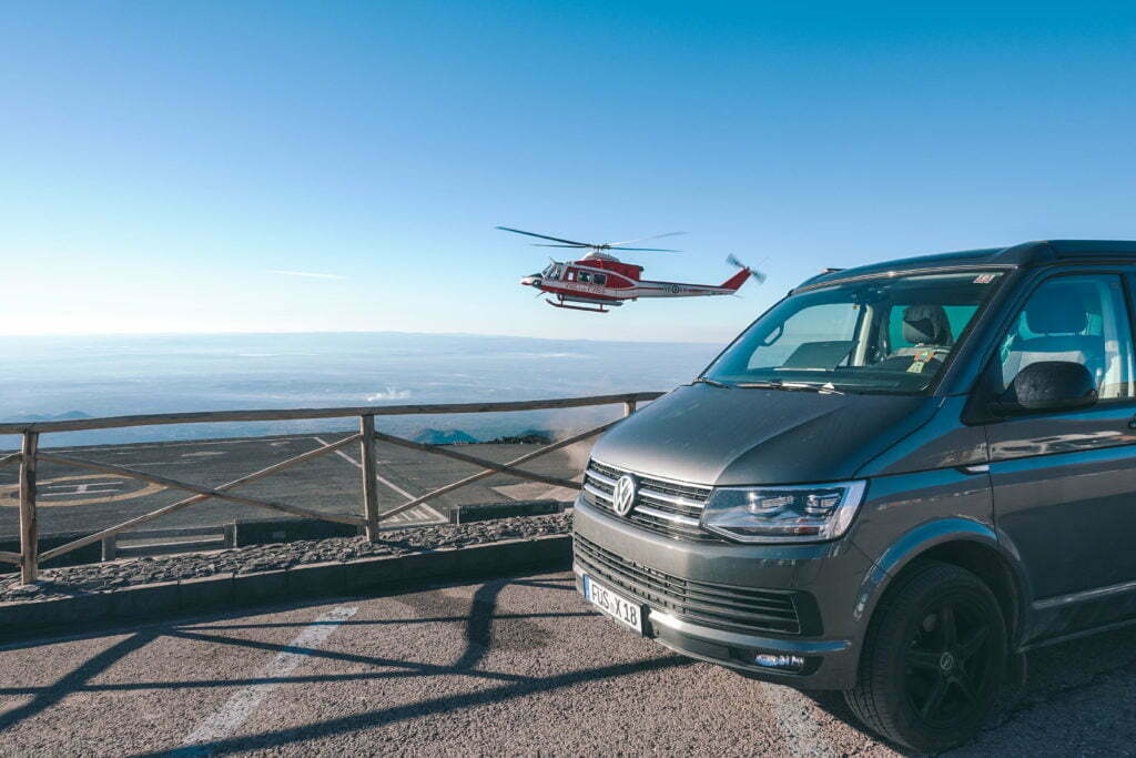
STROMBOLI and 1200 °C hot erupted magma.
Stromboli itself is not even a real island. It is simply a volcanic cone that juts out about 920 metres from the sea. Yet this is the only permanently active European volcano that still continuously spews its lava into the Sciarra del Fuoco, the fire slide. And so that's where we want to fly?
Lost in Translation
We arrive on the island with post-Christmas return traffic and we have a problem. Depending on who we ask, we get different information: which way to Stromboli is open, which is closed, which way you can go with and which way you can go without a guide. There are several routes from Stromboli to the crater. Sentiero A, B and C and the "old" red-marked path, see map. Sentiero B starts in Ginostra - but you can't land there with a paraglider. Sentiero C is the new official path (shortest ascent) and leads "safely" over the SE flank of the mountain.
The early bird doesn't have breakfast in its mouth
The "old" path (marked red), which seems to be increasingly used by the locals we ask, leads through all parts of Stromboli to Spiaggia Lunga in Piscità and past Semaforo Labronzo, where the volcano observatory is located. From here you reach the Filo del Fuoco, the so-called "400 metres", from where you can observe the eruptions well and safely. From here, or from 400 amsl, the hike is only allowed with a guide! The sun rises at this time of the year at about 7:15 am and we plan on a maximum of 2 hours to get to the "400 metres". If you want to watch the fire spectacle, you should be at the viewpoint by dark. So our alarm clock rings at 4:30 am.
The gateway to hell
So, in a subdued mood, we creep further up the mountain, following the cobbled switchbacks through the high maquis fields. At the fork in the road at 250 amsl, the cobblestone ends and we can hear it. It rumbles. He hisses. It keeps popping, while my knees are already shaking a little in the dim light of the headlamp. At the 400-metre mark, the view of the Hellmouth opens up to us. And at that very moment we experience an eruption that should make your blood run cold. If you had listened to your primal instincts at that point, you would have run back down the mountain.

First take cover
Incidentally, the highest area of the volcano is called the Sierra di Vancori. Below the "Pizzo sopra la Fossa" ("peak above the pit") at approx. 750 amsl lies the active crater. Here there are 5 shallow eruptive cones from whose snotty mouths lava fountains rise every 5 to 10 minutes under "favourable" volcanic conditions. The bright red is replaced by gas explosions with ash rain and solid ejecta. The spectacle is accompanied by the deafening sound of a thundering quarry, hundreds of gravel trucks unloading and the thunder of an industrial hammer drill. With each unloading, in addition to vast quantities of stones, embers, sometimes calf-sized lava slag are hurled into the air and all you can hear is the splat as the slag, twisted into bombs, pelts the ground. Even if most of the stuff falls back into the funnel, which can be up to 80 m in diameter, the blocks can be thrown up to 100 m during larger eruptions. Then the helmet would only be decoration - but you shouldn't get that close to the crater.
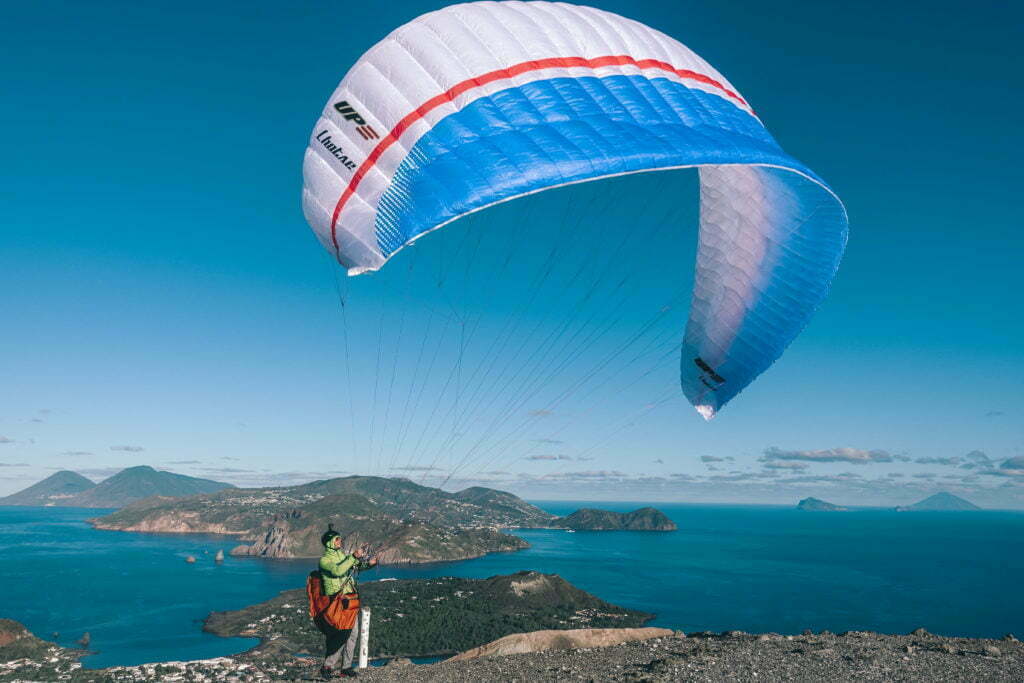
Only camping is nicer!
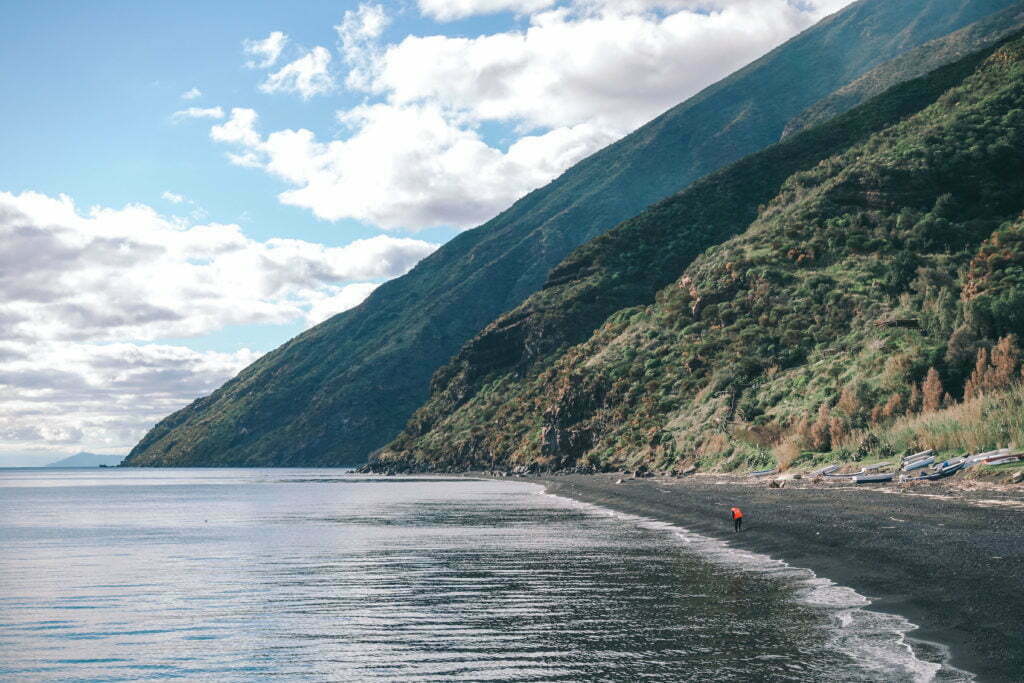
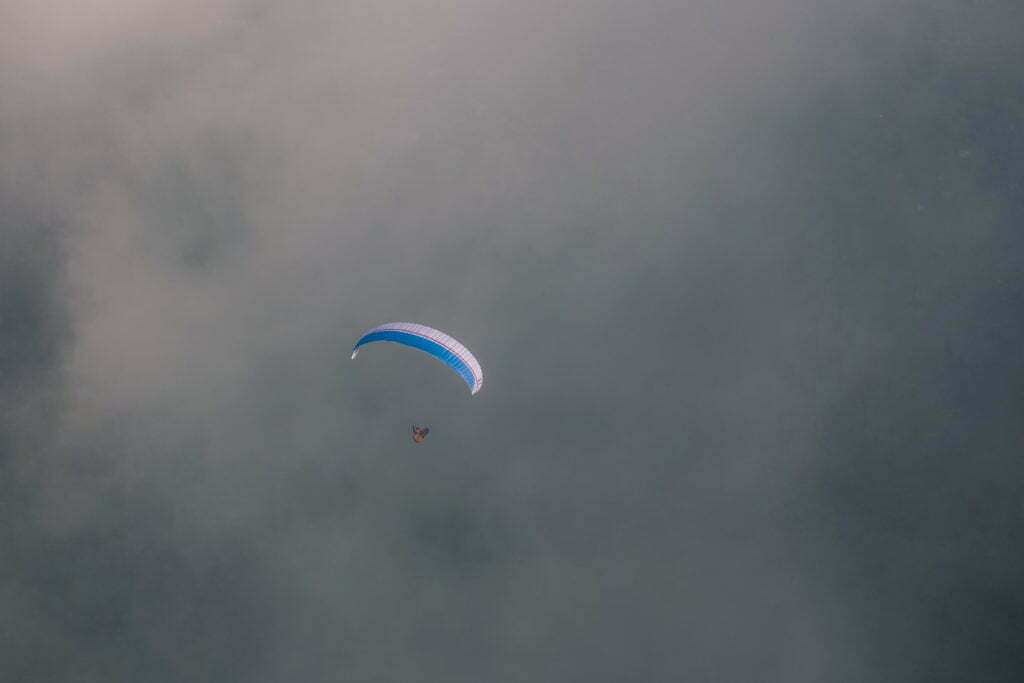
So there we were, and as if on cue, the gusty wind stopped at 8 am. We were hit by a laminar breeze from the west at less than 10 km/h, which even fell asleep completely over time. I put out my glider and was nervous, like a goose after the third Advent. Maestro Stromboli was no help in this case either as he vented his boiler and let the sky light up red. Theoretically, however, it has to rest for 10 minutes after the action... so put on the parachute, turn it off and off it goes. It flies. And how. The air is calm and you can glide with a lot of height over the Bastimento, while on the beach only hungry cats are waiting again.
ETNA. Mongibello probably doesn't think much of hibernation
The locals often call the volcano "Mongibello". This name is derived from "mons" (Latin for "mountain") and "gebel" (Arabic for "mountain") and can be translated as "the mountain of mountains". Which is no exaggeration in view of the many myths and legends surrounding Etna.
From Hephaestus and Aphrodite
In Greek mythology, for example, together with the island volcano Stromboli off the coast of Sicily, it was regarded as the place where the one-eyed Cyclops helped the god Hephaestus with his forging work. Hephaestus, who was considered ugly, stoked the forge fire so violently every time his wife Aphrodite had a fling that the volcano erupted. Or so it was believed at the time.
Safety First
I phone the information office of the Etna cable car in advance to find out what the tourist situation is like on the mountain since the recent eruption. Up to 2700 amsl: no problem. Climbing to the summit ruled out due to ongoing volcanic activity, not sure if Mongibello will blow up again. Accepted. After what we saw at Stromboli, i.e. what an "active" volcano means, a glowing surprise at Etna was better not to challenge.
Paradise for friends of geology
Etna, as a lava-rich stratovolcano, is made up of many overlapping volcanic cones. The youngest of these is Mongibello and has four active summit craters. The entire mountain is dotted with over 400 small adventitious craters and currently the highest point measures around 3300 amsl (NE crater), with the crater measuring 300 m deep. We ourselves experienced a magnitude 4.8 earthquake on Boxing Day, but the earthquake followed three days after the one on Etna, where a new fissure had even opened on Christmas Eve at the foot of the Nuovo Cratere di Sud-Est. This resulted in a lava flow into the Valle del Bove and Zafferana Etnea was again covered with ash.
Above the clouds
I could have continued to marvel for hours up there, because everything together makes a unique landscape that you have to experience. The wind was gusting thermally from the south and the view of the cloud cover closing in the direction of flight caused us medium to great concern. Now we had to move quickly. I was in the air and followed the grassy ridge towards the southeast, which is on the south side of the Valle del Bove.

Eyes closed and through
We enjoyed a forward speed of 45 km/h at half throttle with a sink rate of approx. 0.5 m/s. Everything was fine except for the cloud cover, which was almost closed by now. I hate clouds. But the cloud cover was hardly allowed to be more than 100 metres thick, so I kept my eyes on the navigation and through it. If only my mobile phone battery hadn't suddenly given up the ghost. With the hope that no more surprises would follow, I ventured into the clouds and sang to myself so that Alex could locate me.
Home is where you park it
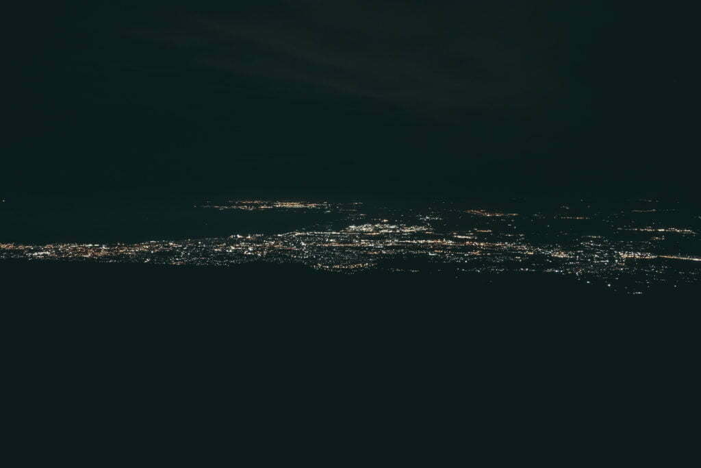
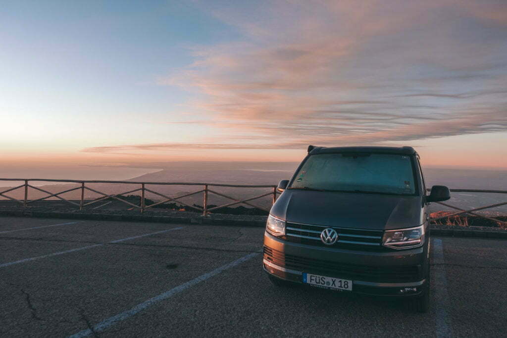
Not a minute later, we finally had ground visibility again and at just under 1600 m above ground, we calculated that the remaining 7-8 kilometres to the beach would be manageable with plenty of air down. Nevertheless, we landed at the spacious landing site of Zafferana Etnea and prepared ourselves mentally for the upcoming hike. It was going to be a long one and, above all, a cold outdoor shower at a pleasant 0 °C awaited us at the camper.
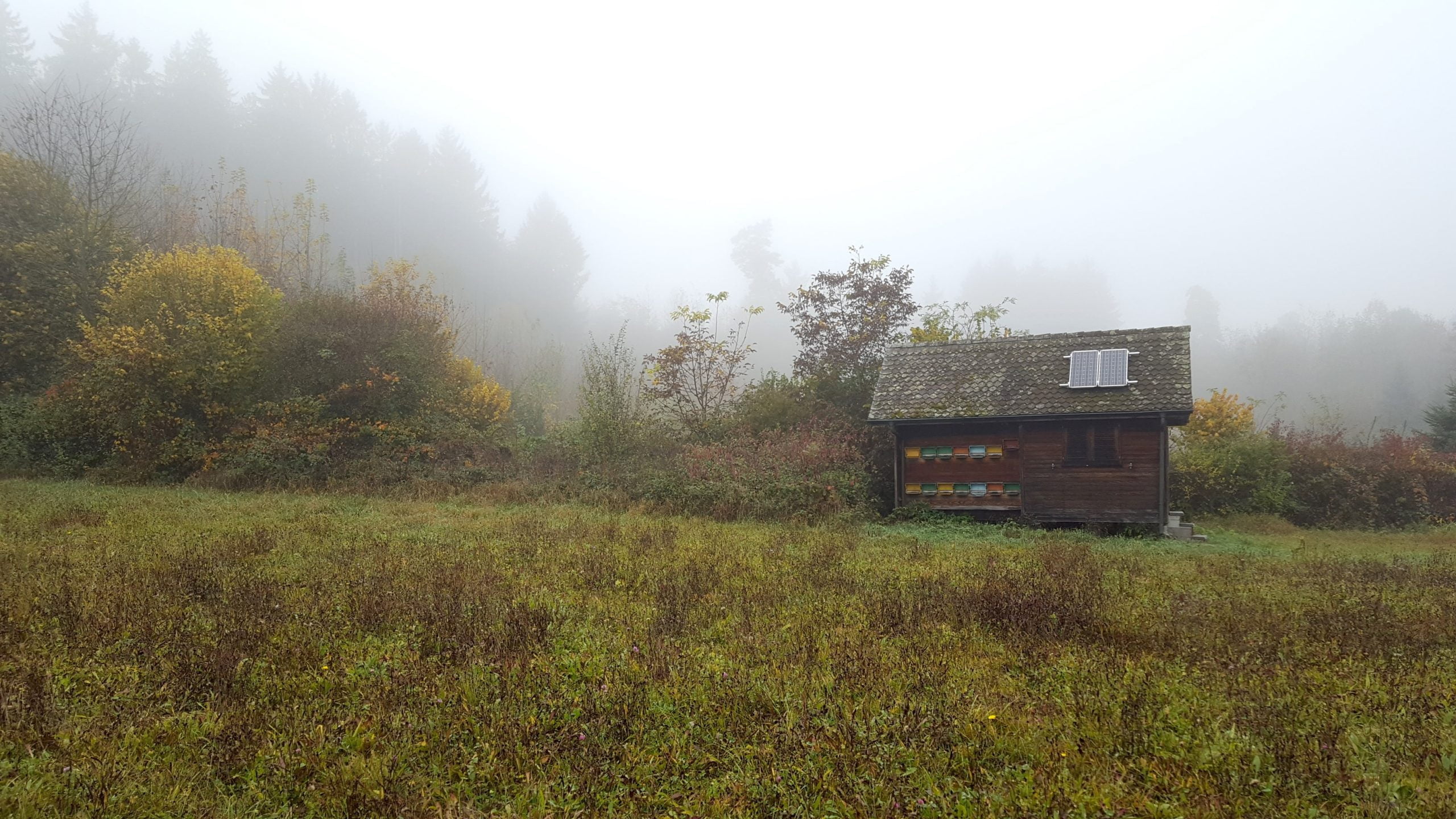
Energy self-sufficient with solar and island system not only for campers
Energy self-sufficient with solar and stand-alone system Not only for campers, but also for mountain huts, alpine pastures, maiensäss or campsites Contents of this article What
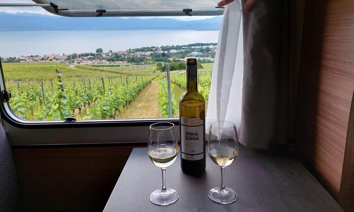
Camping was yesterday, Swiss Hosts is camping of tomorrow
Swiss Hosts is the alternative to camping in Switzerland Camping on a winery, staying overnight at a local cheese dairy and
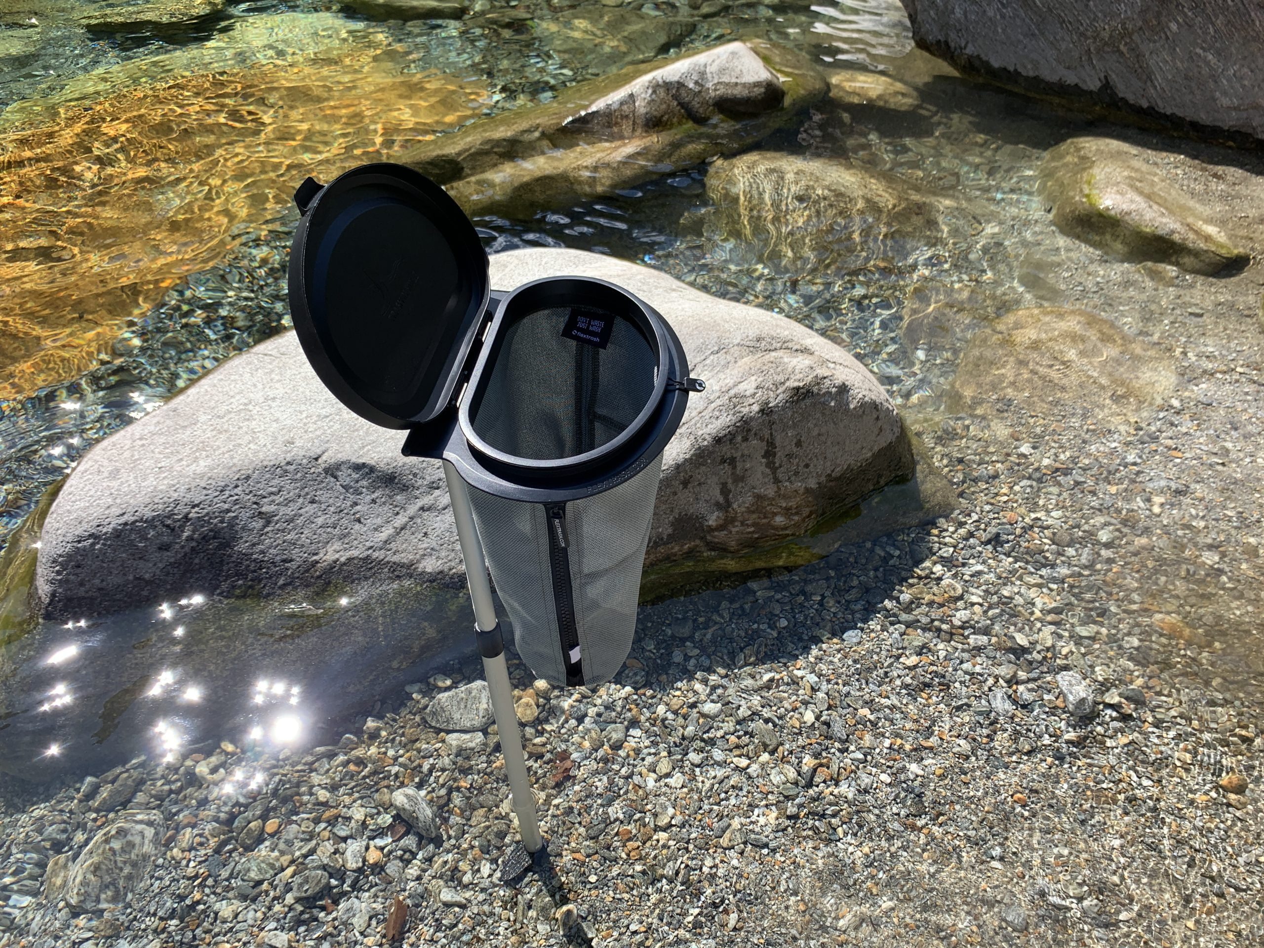
Probably the most versatile bin for campers
Probably the most versatile waste bin for campers The Danish Flextrash - where waste meets bucket! Content of this article The Flextrash
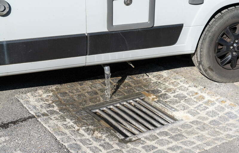
Disposal stations for mobile homes or campers
Disposal stations for mobile homes or campers Briefly on how to deal with fresh, gray and waste water when camping in the camper or mobile home